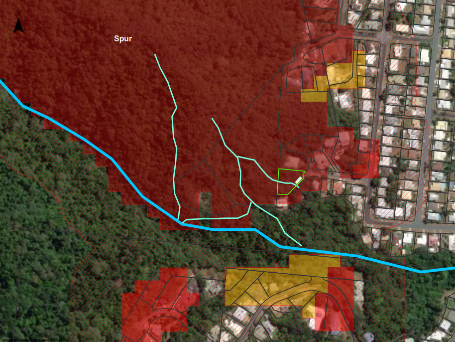
Think you have inaccurate bushfire risk or vegetation mapped on your property, or need advice on cost-effective strategies to reduce bushfire risk?
Our consultants have the combined required qualifications for these services of formal scientific training and extensive experience in undertaking controlled burns, assessing fire behaviour and fuel dynamics in a diverse range of vegetation and terrain types, and planning and mitigating bushfire risk. We have $10M in Professional Indemnity insurance specific to fire management planning and bushfire hazard assessments.
- Bushfire Attack Level (BAL) Assessments
- Site-specific bushfire assessments
- Extensive experience in Method 1 and Method 2 assessments in accordance with Australian Standards
- Bushfire management (mitigation) plans
- Pre-purchase report on properties
- Liaison and response preparation to councils throughout planning
- GIS mapping
- Interpretation and advice on development application requirements and council overlay codes
- Subdivisions/reconfigurations, community developments, all Material Change of Use
